Beaches and coves in Belle Ile en Mer – Tourist Information
Belle-Ile-en-Mer is located in southern Brittany in the department of Morbihan about fifteen kilometres from Quiberon (45 minutes away by boat) and forty kilometres from Le Croisic. This is the largest Breton Island (84 km2, 17 km long, 5 to 9 km wide, the highest tip 71 meters high) and the third largest island in Metropolitan France (Corsica, the Island of Oléron, Belle Ile and the Island of Re). It belongs to the islands of Ponant.
Belle Ile is very hilly. Sports enthusiasts can cross its coastline on foot in four days. To fully enjoy it, it is advisable to rent a bike (one must be an athlete because it is hilly) or a scooter (it is possible to rent a car, it is very expensive to put one’s car on a boat).
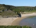
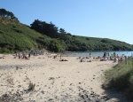
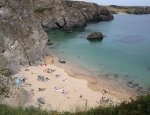
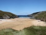
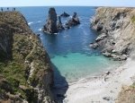
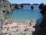
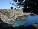
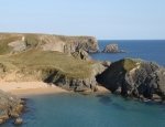
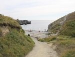
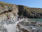
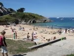
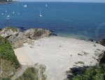
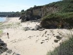
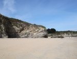
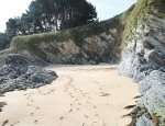
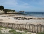
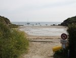
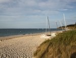
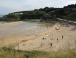
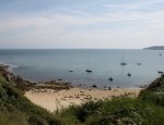
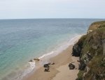
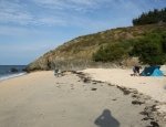
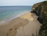
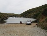
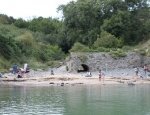
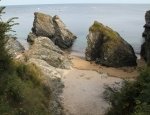
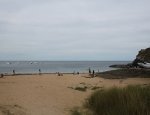
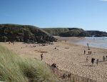
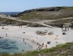
There are sixty beaches in Belle Ile en Mer. Even if one stays here for a month, one will not even have the time to discover them all! The largest beaches in Belle Ile are located on the northern coast. The most famous is Grand Sables Beach (1.8 km long), it is also the place where there are the most remains of the 7-year war (the island was under British occupation). The western coast called the wild coast is the most impressive with its valleys and cliffs. There are many beaches there but one must be cautious because some are dangerous. The needles of Port Coton are located there (they were painted by Claude Monet in 1886). On the southern coast, there are many beaches and coves where the water is the hottest of Belle-Ile.
You will find below the various beaches of Belle Ile classified by town: Le Palais, Sauzon, Bangor and Locmaria.

