Bugul Cove in Locmaria - France
Information on the Bugul Cove in Locmaria (France)
Description and location of the Bugul Cove in Locmaria (56360)
Our opinion on the Bugul Cove
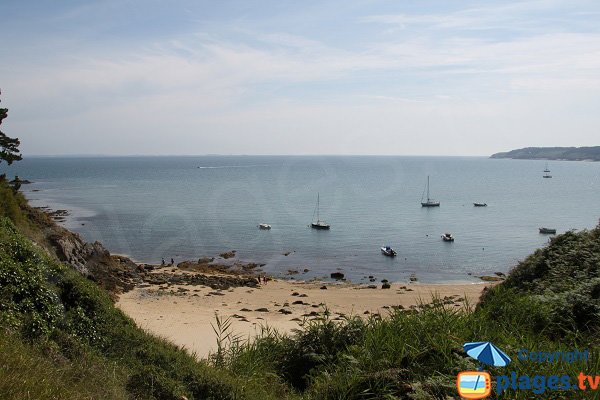
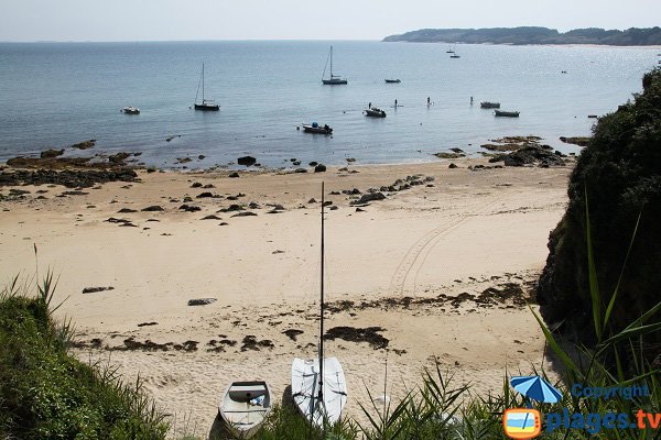
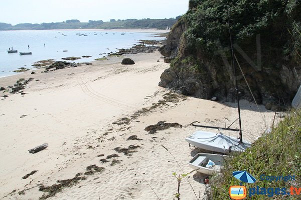
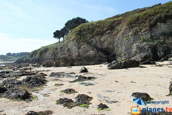
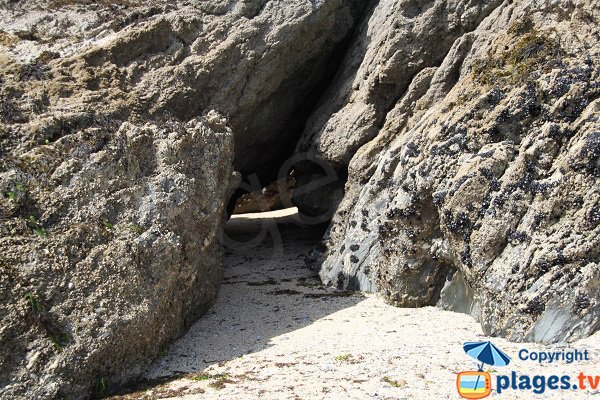
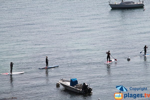
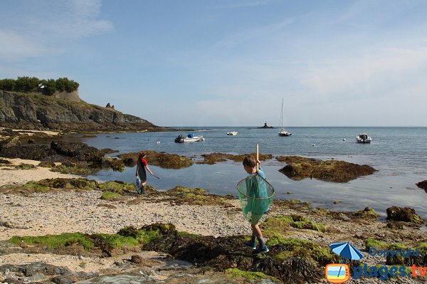
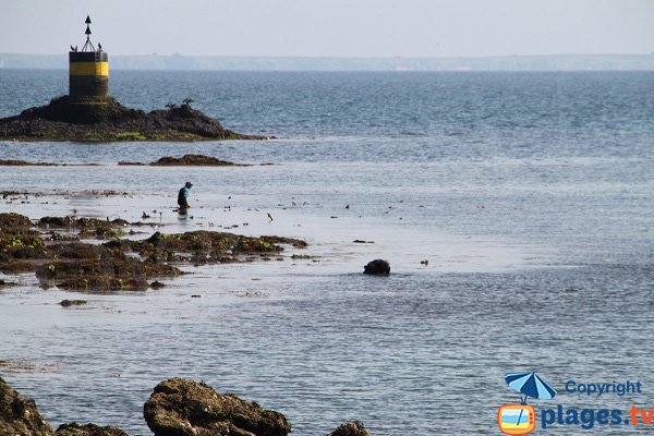
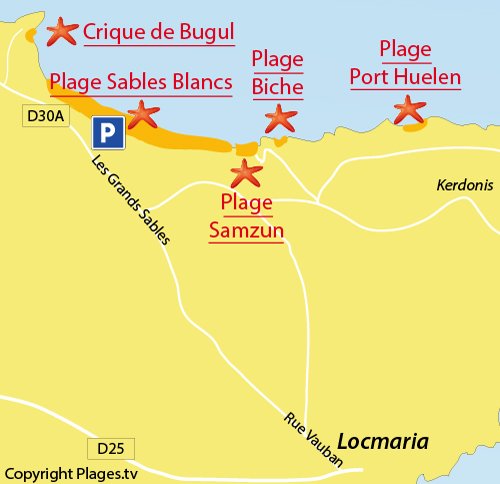
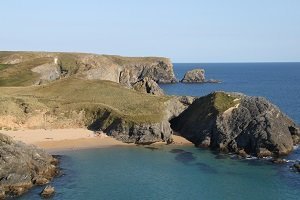
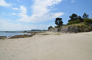
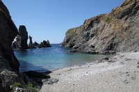
Oriented east, Bugul Creek in Belle Ile en Mer (Locmaria) is sunny until late evening. It is only known to the regulars, and fishermen on foot who take up residence at high tides. It is associated to two small southwest oriented shadier. The tip of Bugul was a militarily strategic location, hence the presence of two forts, one from the seventeenth century and the other from the nineteenth century. Also strategic maritime-wise, boats came to shelter in the cove from the westerly winds or Norse. This is still the case today since it is an anchor point. One enjoys the tranquility of the bay and the proximity of Grands Sables, a more active beach, which one can reach at low tide.
Through the coastal road, after Port York, at the top of the hill, take the dirt road on the left (Taol Mor). Take the coastal path on the right 200 m of tricky descent later, one arrives at Bugul. Parking is rudimentary.
Characteristics of the Bugul Cove
Type of beach
- Creek
- Shade
- Lawn
- Pebbles
- Sand
- Cement
Equipment on the beach
- Handicap accessible
- Swimming pool
- Kids Club
- Shower
- Mattress rental
- Free parking
- Payed parking
- Paddle boats
- Lifeguards in season
- Restaurants
- WC
Recreation
- Beach volleyball
- Nautical Center
- Sand Yachting
- Nursery
- Fishing
- Nautical sports
- Surfing
- Scuba diving
- Kitesurfing
Location
- Difficult access
- Nude beach
- Wild beach
- Near city center
Miscellaneous
- Barbecues permitted
- Dogs allowed
- Smoke-free beach
Photos of the Bugul Cove
Interactive map of the beaches of Locmaria
Click on the beach of your choice:
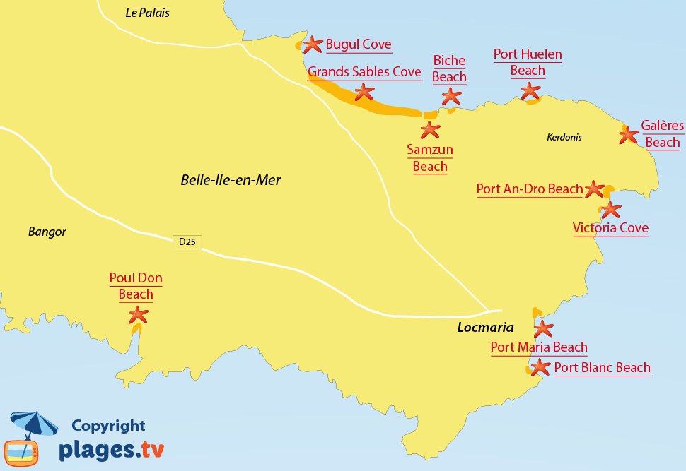
All beaches at Locmaria
Beaches near the Bugul Cove:
Your opinion on the Bugul Cove
Secret beaches in the area
Gros Rocher Beach - Le Palais
All the pleasures of Brittany beaches found here a fertile ground. Gros ...
Herlin Beach - Bangor
Three valleys lead there and form an aber (or Ria), a feature of Brittany. ...
Baluden Beach - Bangor
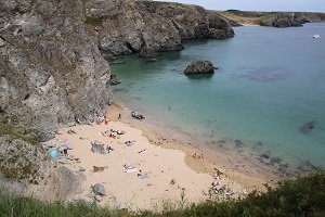
In the village of Herlin, on the right side on the D25 towards Locmaria, one ...
Dotchot Beach - Bangor
Located in the heart of Herlin Cove, and just a few steps from the beach of ...
Seaside resorts in the area
Sauzon - Belle Ile en Mer
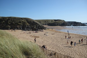
The village of Sauzon is located northwest of Belle-Ile-en-Mer in the department ...
Quiberon
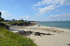
The seaside resort of Quiberon, located at the tip of the peninsula of Quiberon ...
Saint-Pierre-Quiberon
The small seaside resort of Saint-Pierre-Quiberon, located at the entrance of ...
Carnac
Carnac (town and beach) is a popular destination with holidaymakers who like to ...
Tourist information
Quiberon: A seaside destination in the south of Brittany
Connected to the mainland by a narrow stretch of sand over a few kilometres, the ...
France: Bangor and Locmaria, Belle-Ile’s Wild Side
Bangor and Locmaria (on Belle Ile en Mer Island) are characterised by their ...
Belle Ile en Mer in France - The top 12 of the most hidden beaches
Along its coastline, Belle-Île conceals several beautiful secret coves, often ...
The top 12 of the most beautiful beaches of Belle Ile en Mer
The beaches of Belle-Ile are hidden away and secret, sometimes with difficult ...


